Last Thing Florida Wants To Hear Right Now
We’re only a day or so removed from Hurricane Debby’s visit to Florida. And here we go again?
There are still some roads closed but the Howard Frankland Bridge and Sunshine Skyway Bridges are finally back open. The sun is back out this morning. Most have their power back. And then comes the news that there’s a new system weather watchers are monitoring that’s firing up in the tropics.
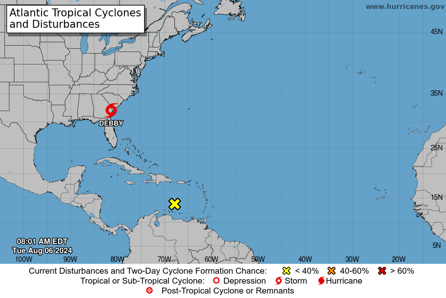
According to WeatherNation, the National Hurricane Center is keeping an eye on a tropical wave in the Atlantic Basin right now. It doesn’t have a name yet, but if it gets one, it’ll be Ernesto or Francine. The path of this one is yet to be determined but the initial graphs show it heading toward Puerto Rico and we know very well what’s in that direct line after Puerto Rico.

Tampa Got Lucky
We were pretty fortunate with Debby. She was just a tropical storm when she passed by Tampa Bay. But that’s the thing. Debby was 75 miles off our coast. And it wasn’t even a hurricane. But look at the damage caused. That along with the reality that we are just now getting into the peak of hurricane season should be a warning to those who were unprepared for Debby.
RELATED: 7 brilliant pre-hurricane life hacks
WeatherNation charted tropical activity from 1944 to 2020 on their website today and there is definitely a skyrocketing rate of storms that begin in mid August. Things finally slow down in late October.
Florida Weather for this week
As for Tampa Bay this week, Debby has sucked a lot of the moisture out of our area so we’ll see a good amount of sun for the next couple days. But then by the weekend, we’re expected to be back in that typical Florida summer weather pattern with times of sun mixed with those pop up afternoon storms with thunder and lightning. Temps aren’t going to budge – we’ll be right around 90 for the next week or so.


